The Lost 49ers
In late 1849, a group of wayward pioneers, seeking gold in California, descended into a remote valley deep in the Mojave Desert. Known as the Lost 49ers, the group endured one trial after another as they tried to cross the valley floor and scale the towering Panamint Range. Unable to cross the mountains, the group accepted a harsh truth: they would be spending the winter in this barren desert scape. As a Hail Mary, they sent two scouts over the mountains to bring help and supplies. After the new year, many members of the Lost 49ers likely lost hope. But the two scouts returned, and the party was rescued, suffering only one known fatality. When they finally crested the Panamint Mountains, one of the men looked back at their desolate winter home for and said, “Goodbye, Death Valley.” The name stuck.
It was here that I decided to spend three days in January, bringing my tent, mountain bike and hiking boots. Obviously, much has changed since the days of the 49ers: I could indulge my love of ice cream at the camp general store, a luxury resort sits at the base of the Funeral Mountains, — complete with pool and spa — and the National Park Service maintains hundreds of miles of roads of trails. . There’s even a golf course, which, at 214 feet below sea level, is the lowest in the world. But for all the development, Death Valley demands a healthy dose of respect. This is still a land of extremes.
Sunset on the Dunes
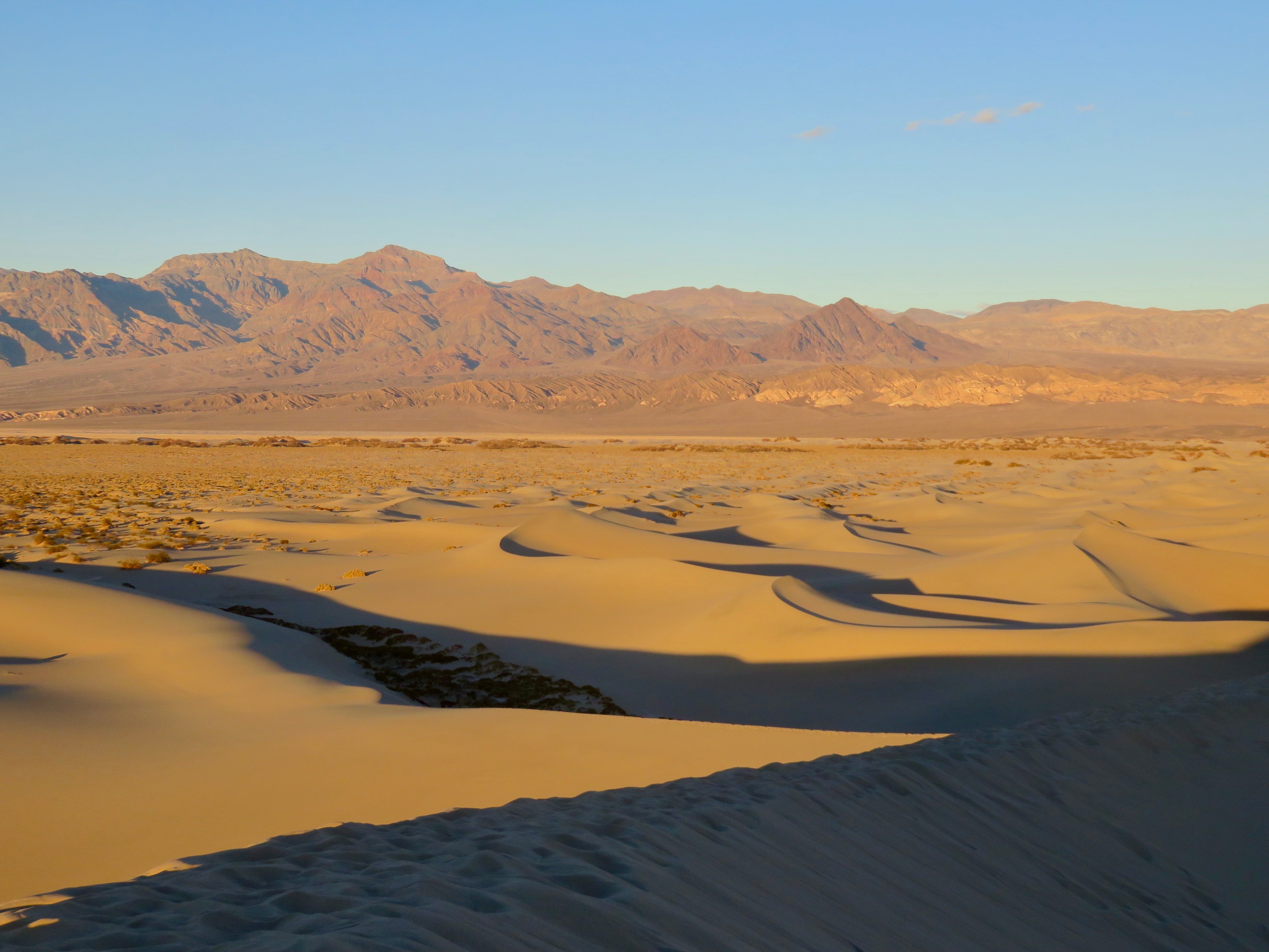
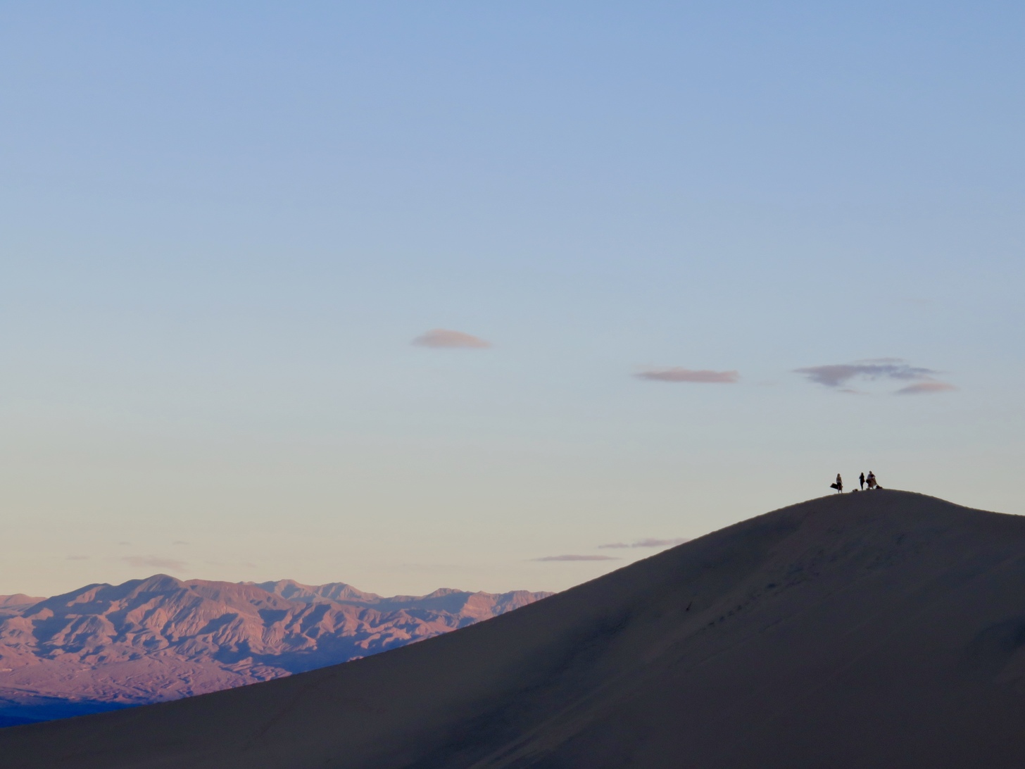
Easily one of the highlights of the trip and a true “desert” experience were the Mesquite Flat sand dunes. After a grueling bike ride up Chloride Cliff road earlier in the day, I stopped at the dunes for sunset before turning in at the nearby Stovepipe Wells campground. The Mesquite Flat dunes may not be the largest in the park — the Eureka dunes hold that honor — but they are easily the most accessible. From the parking lot, hikers are immediately greeted by a sea of sand, unfolding against the dramatic backdrop of the Grapevine Mountains. The largest dunes are roughly one mile from the trailhead, but the distance can feel longer on the loose sand. Sprinting up and down the steep dunes, it’s easy to feel like a kid in one of nature’s giant sand boxes. Sunset provides the best lighting, but don’t expect solitude at this time of day. Even with crowds, though, it’s easy to find your own private dune with a bit of extra walking. Tip: if you do choose to explore the dunes, I would definitely recommend layers (even if it’s hot). When the wind is howling, the sand can whip at your skin pretty hard.
Biking in a Brain
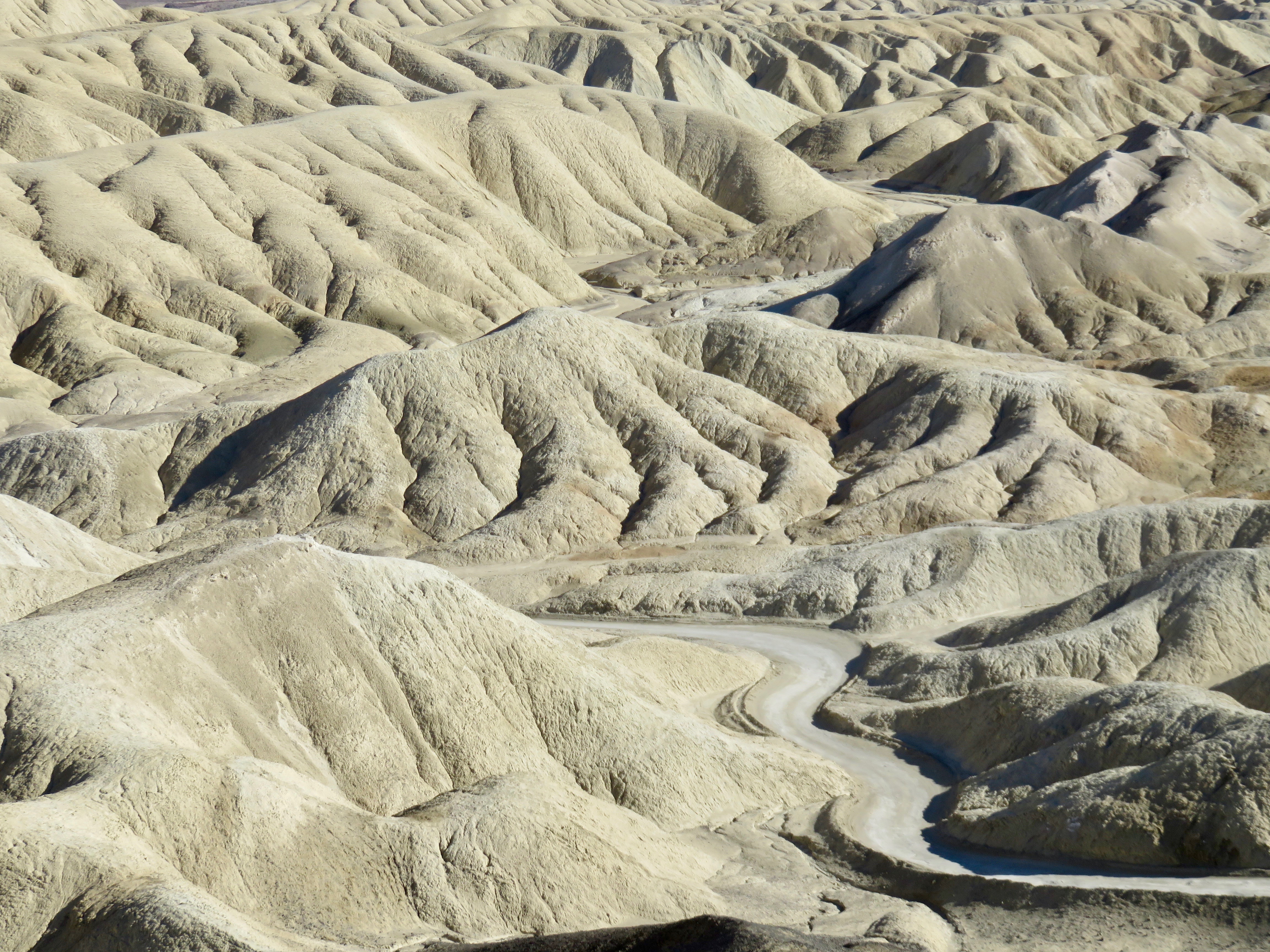
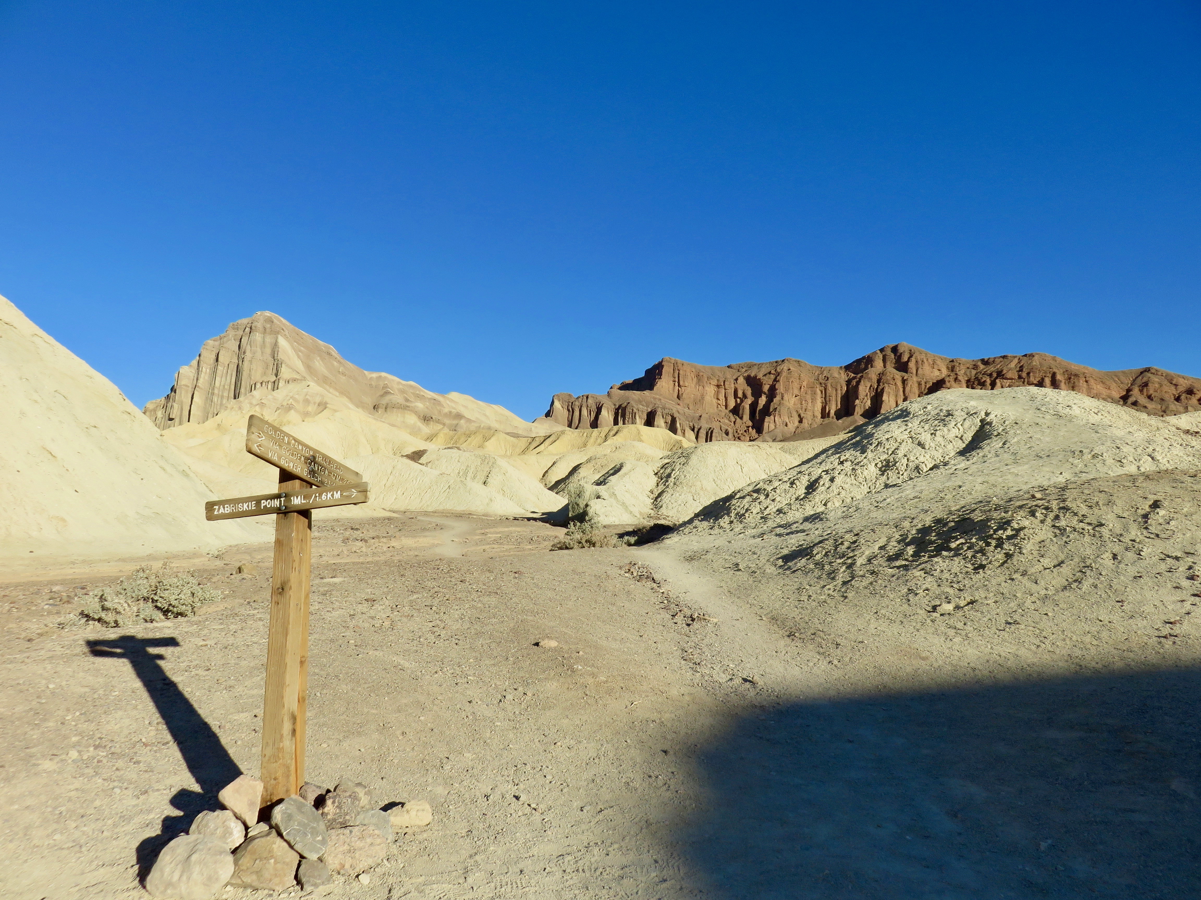
With hundreds of miles of backcountry roads, Death Valley is like Disneyland for Jeeps. Those dirt and gravel roads are also a great place to rack up miles on a mountain bike. At least that was my thinking when I decided to bring my bike along. But after a slog on loose dirt and rocks up Chloride Cliff road in the afternoon heat, I quickly learned that these roads should not be underestimated. Fortunately, my second ride of the trip took me to easier terrain: Twenty Mule Team Road. This backcountry road is well groomed and snakes through some of the most striking scenery in the park. The land here is heavily eroded — a maze of rolling ridges scarred with deep ravines. The pale yellow and white hues of the rock gave the place a brain-like quality. I felt like a lone neuron firing through clay synapses.
Not far from the beginning of Twenty Mule Team Road is Zabriskie Point, one of the most popular vistas in the park. The view from this overlook truly captures the surreal quality of the landscape, from the multi-colored cliffs to the tendril like ravines that sprout from every hill. If Dali and Dr. Seuss got together to draw a desert, this would be the result.
A Perfect Place to Get Lost
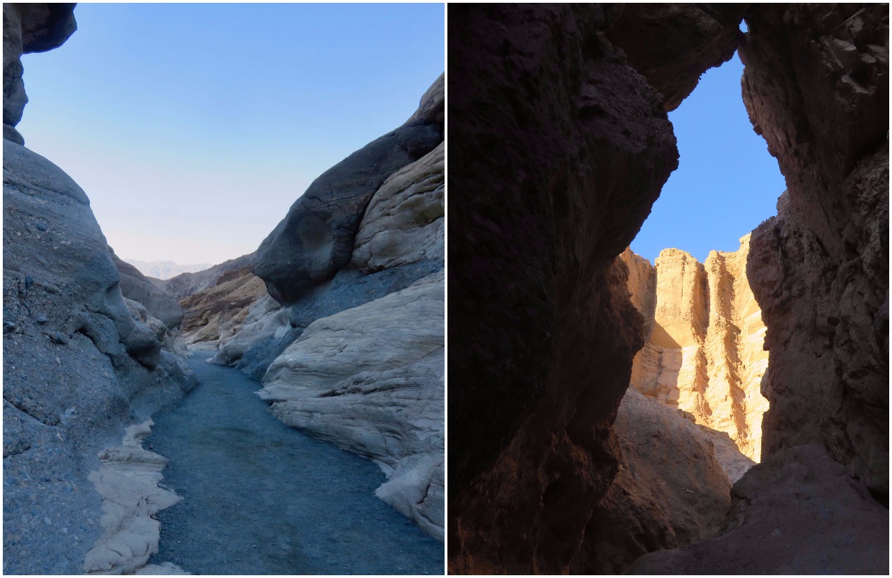
The pioneers might disagree with me, but the labyrinthine canyons of Death Valley really are a fun place to explore. Over my three day trip, I hiked in several of the park’s most scenic canyons, including Mosaic, Golden and the Badlands loop. Mosaic Canyon is an especially great place to play around in a non-technical slot canyon. It’s not particularly deep or narrow, but the variegated marble walls are stunning. Hikers who venture beyond the initial narrows are rewarded with greater solitude and more twisting passageways.
Golden Canyon and the Badlands are located between Badwater Road and Zabriskie Point and can be accessed from either side. The area is colorful maze of canyons, ravines and cliffs. Many of the trails here are faint, require scrambling or follow natural features, so it’s easy to get lost. I spent nearly an hour exploring the undulating hills around Red Cathedral before realizing the sun had already set. If you do plan on going off trail, or getting intentionally lost, be sure to respect the park’s restrictions; certain areas are off limits. Moreover, you should never wander off trail without a map or compass and adequate supplies. It’s fun to explore, but only if you know how to get back.
With just three days, I could only scratch the surface of what Death Valley has to offer. The park certainly warrants a return trip. For now, I’ll have to settle for the fact that I escaped America’s driest, lowest and hottest place alive. Goodbye, Death Valley.
Don’t Miss:
Mesquite Flat sand dunes, Mosaic Canyon, Zabriskie Point, Badwater Basin
If You Have Time:
Twenty Mule Team Canyon, Chloride Cliffs, Golden Canyon
See more photos below:
Signpost in Badlands Loop
Signpost in Badlands Loop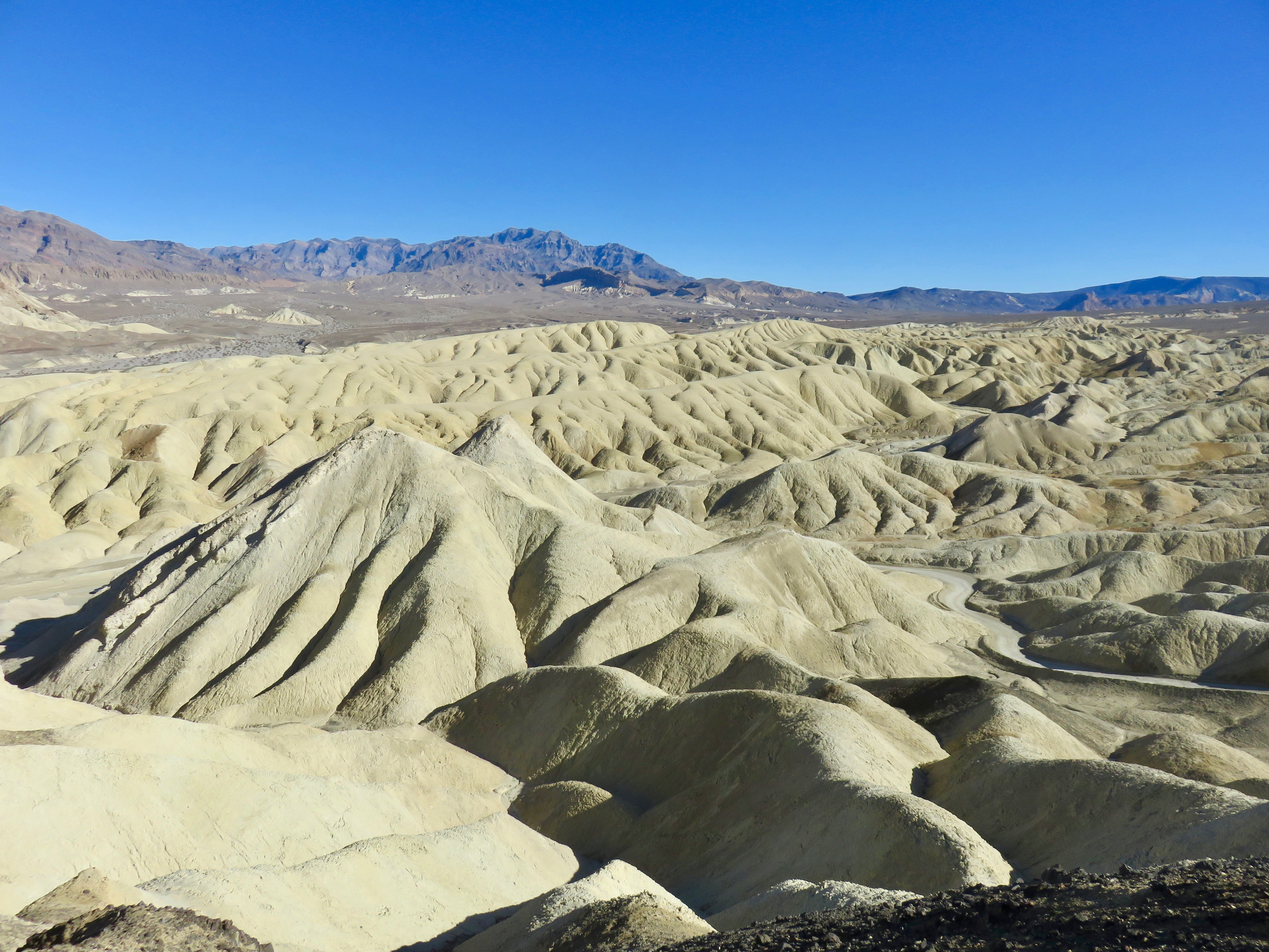
Death Valley Badlands
Death Valley Badlands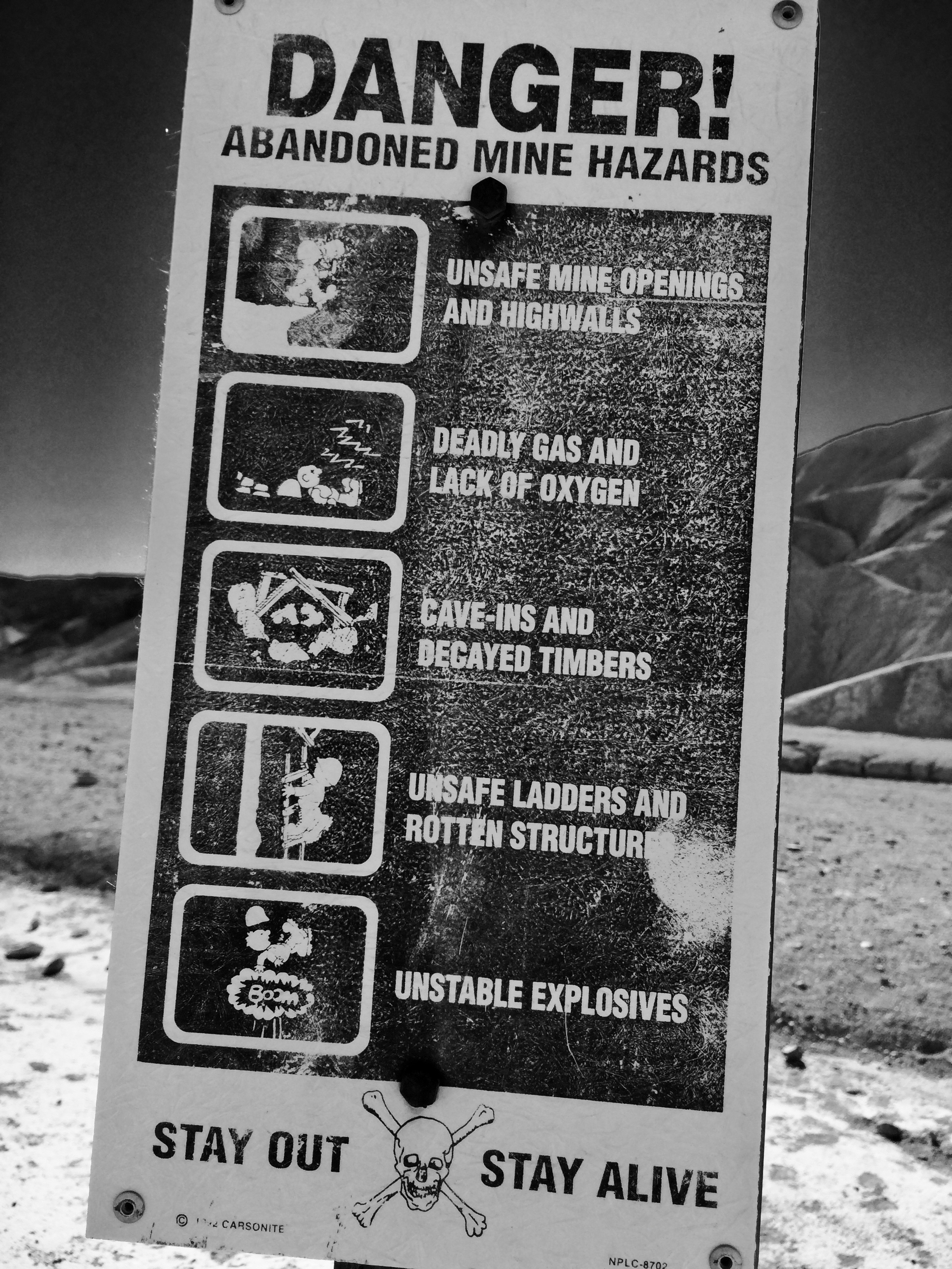
You've been warned!
You've been warned!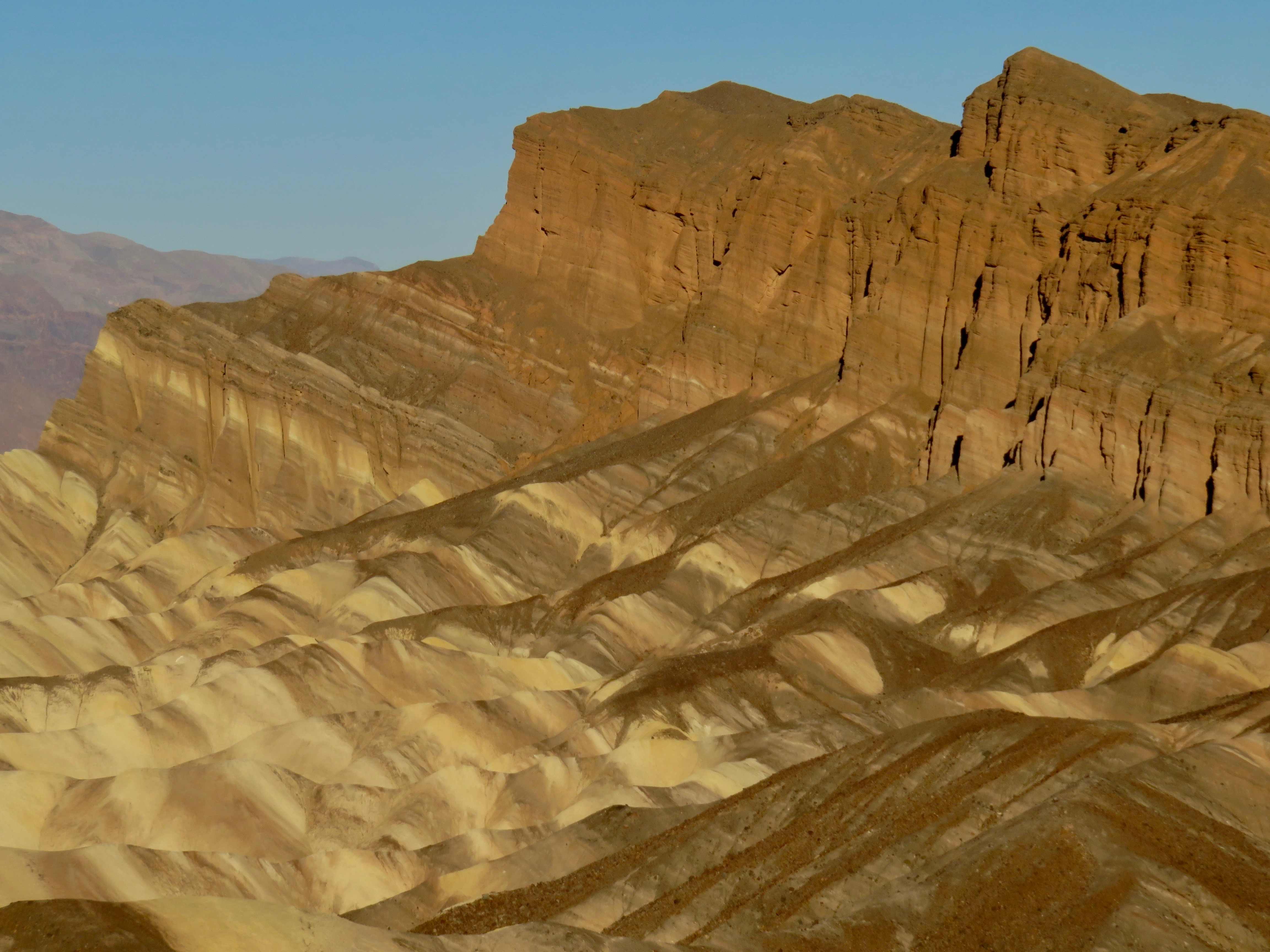
Colorful rock formations
Colorful rock formations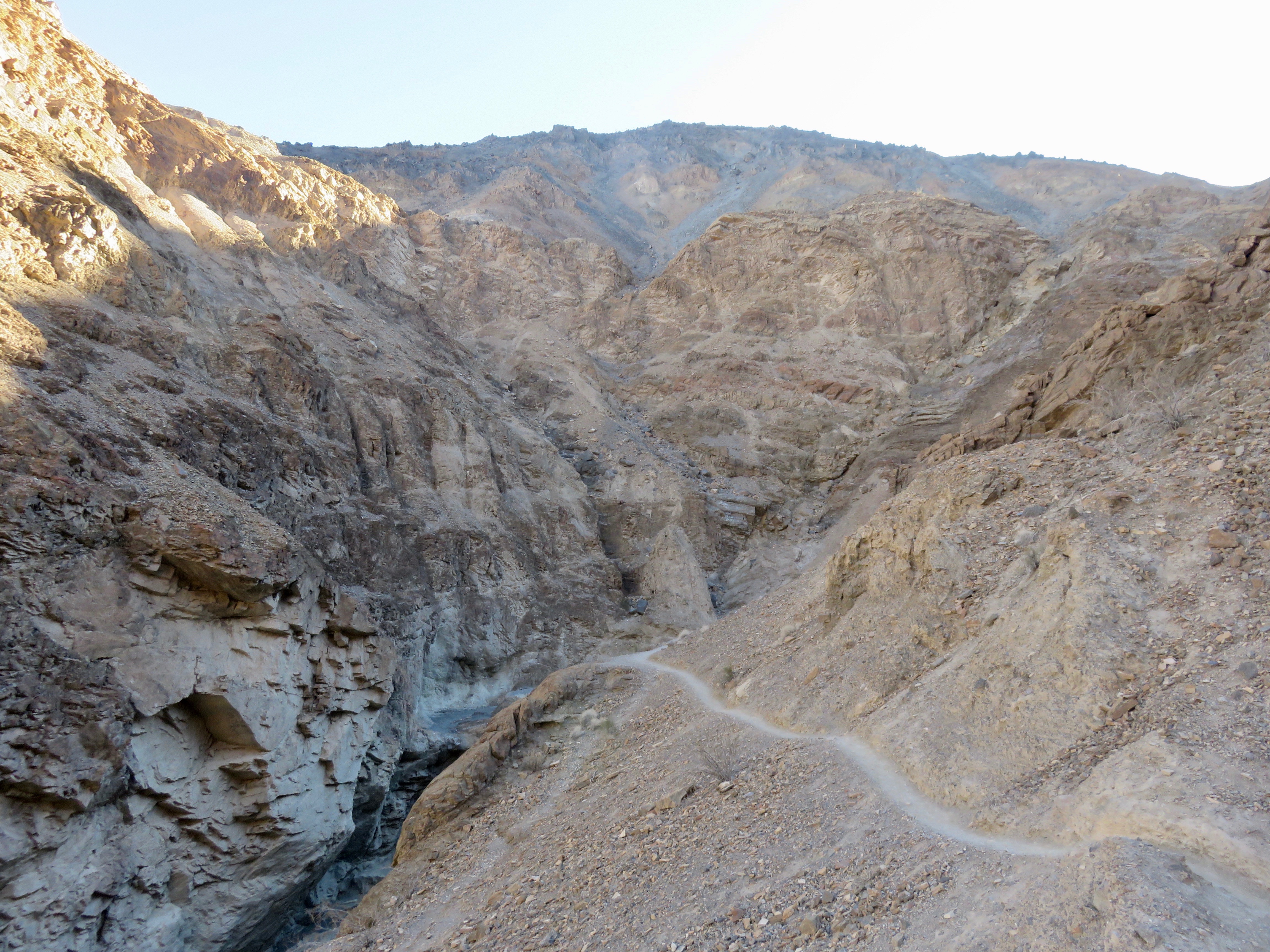
Trail climbing steeply out of Mosaic Canyon
Trail climbing steeply out of Mosaic Canyon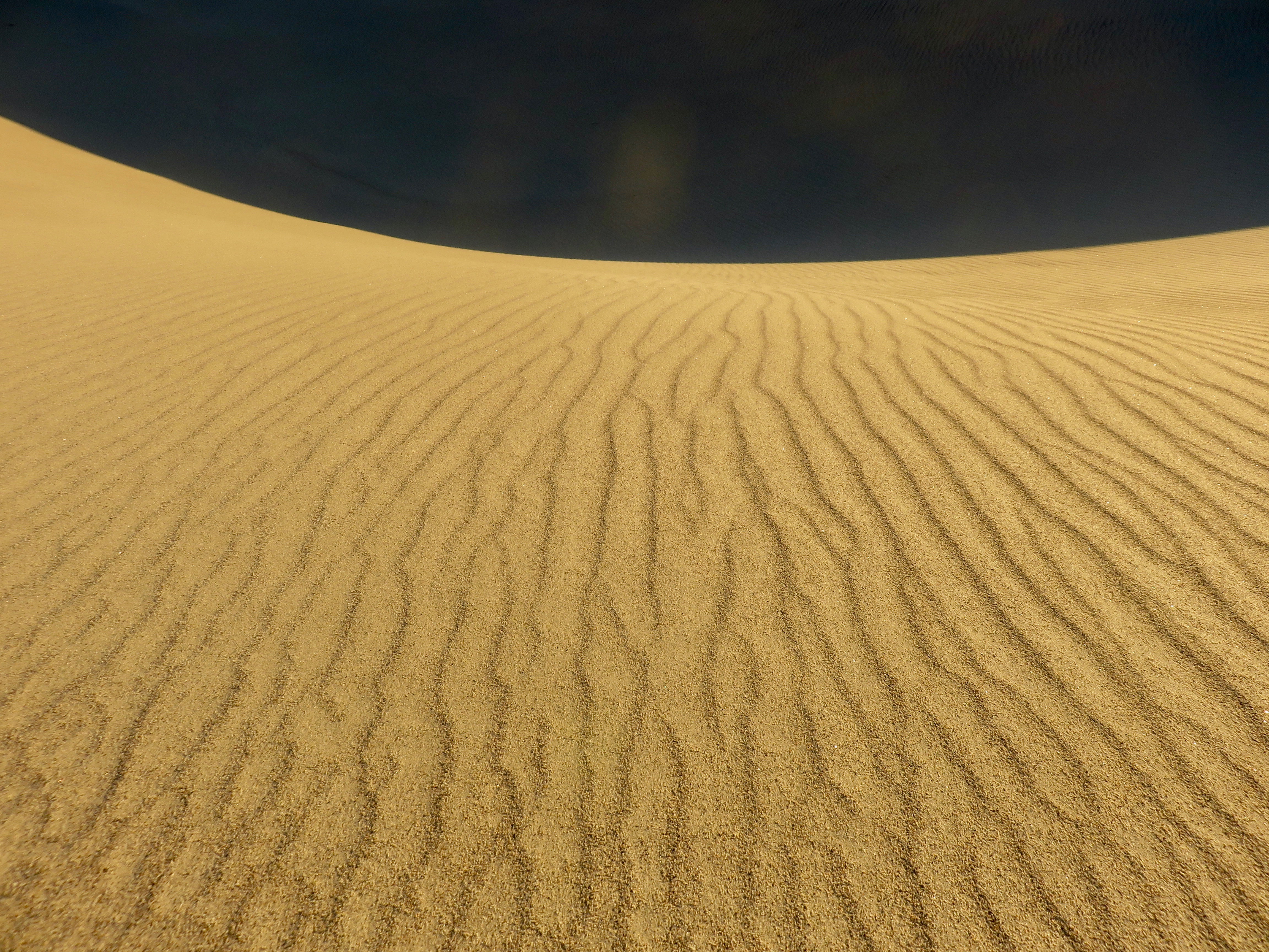
Ripples in the sand
Ripples in the sand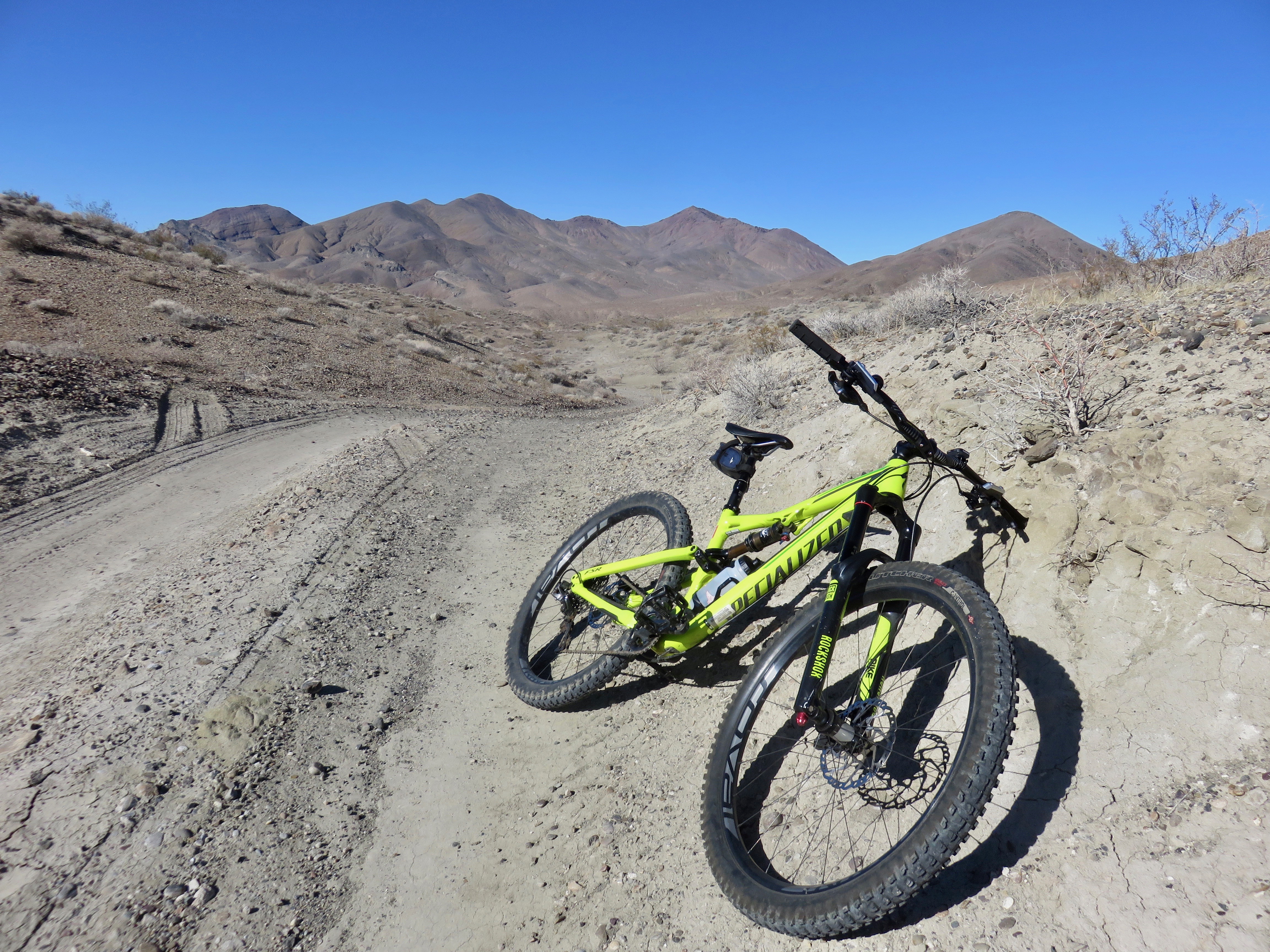
The long road to Chloride Cliff
The long road to Chloride Cliff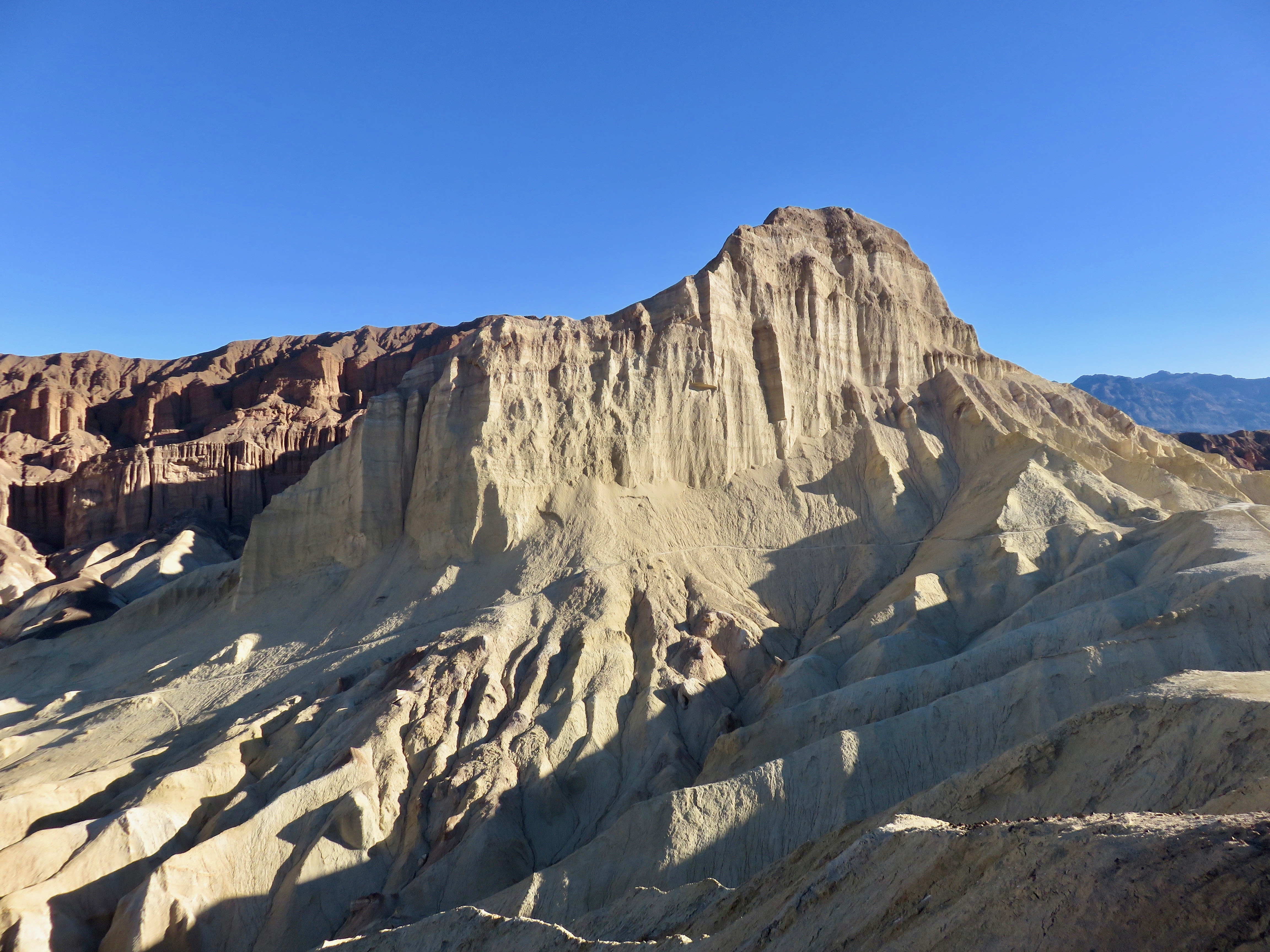
Golden Canyon
Golden Canyon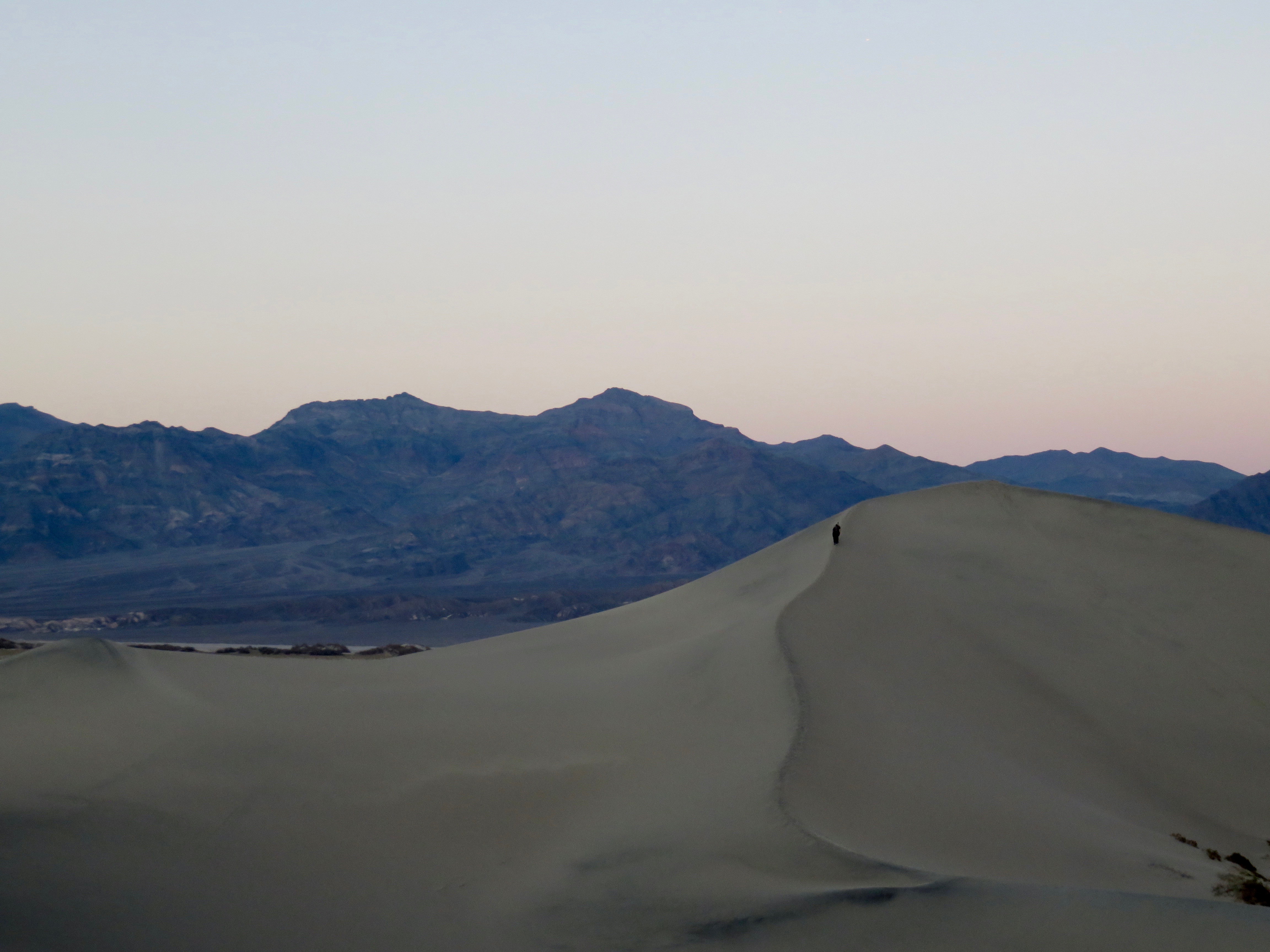
Dusk on the dunes
Dusk on the dunes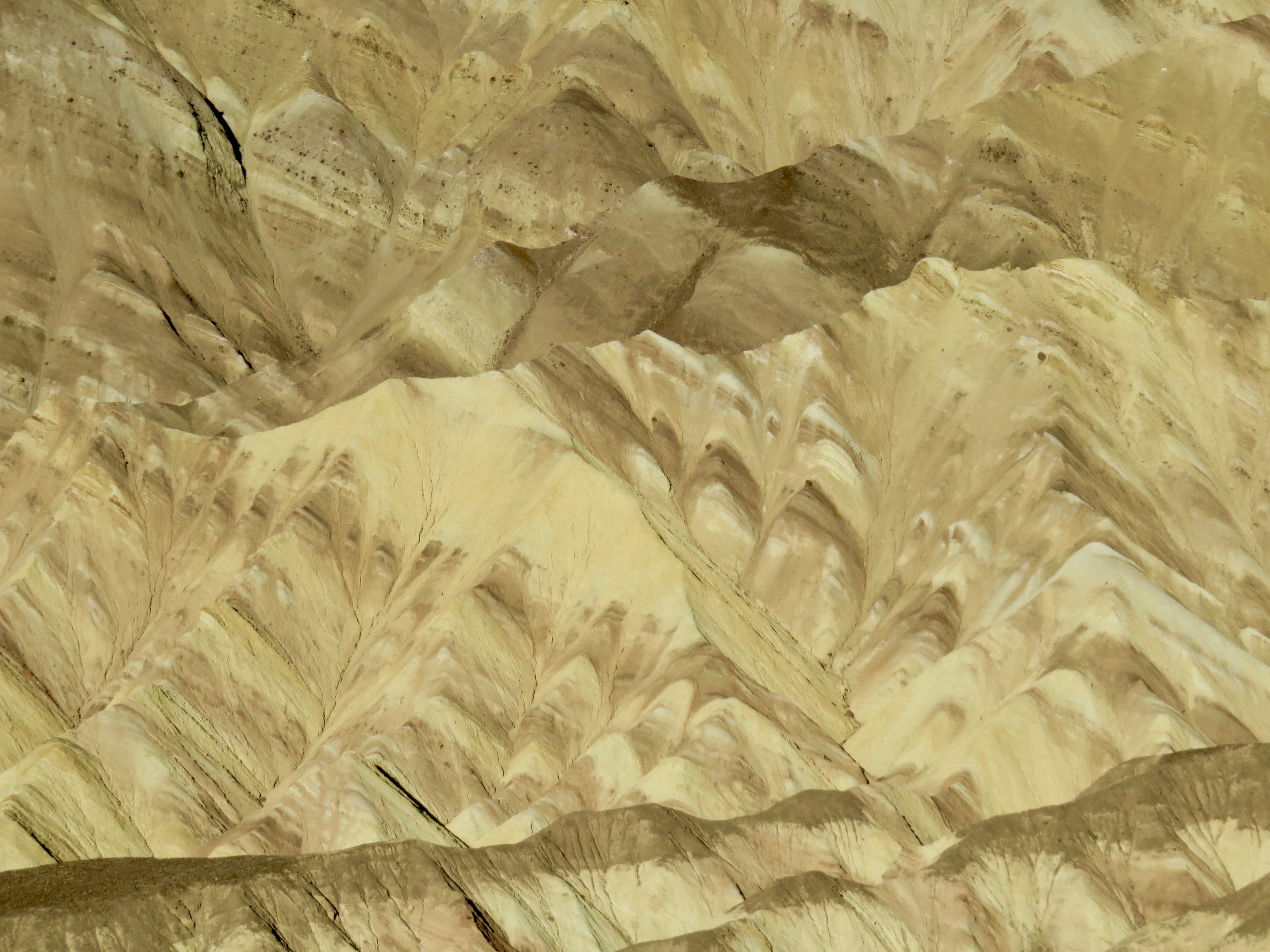
Colorful geology
Colorful geology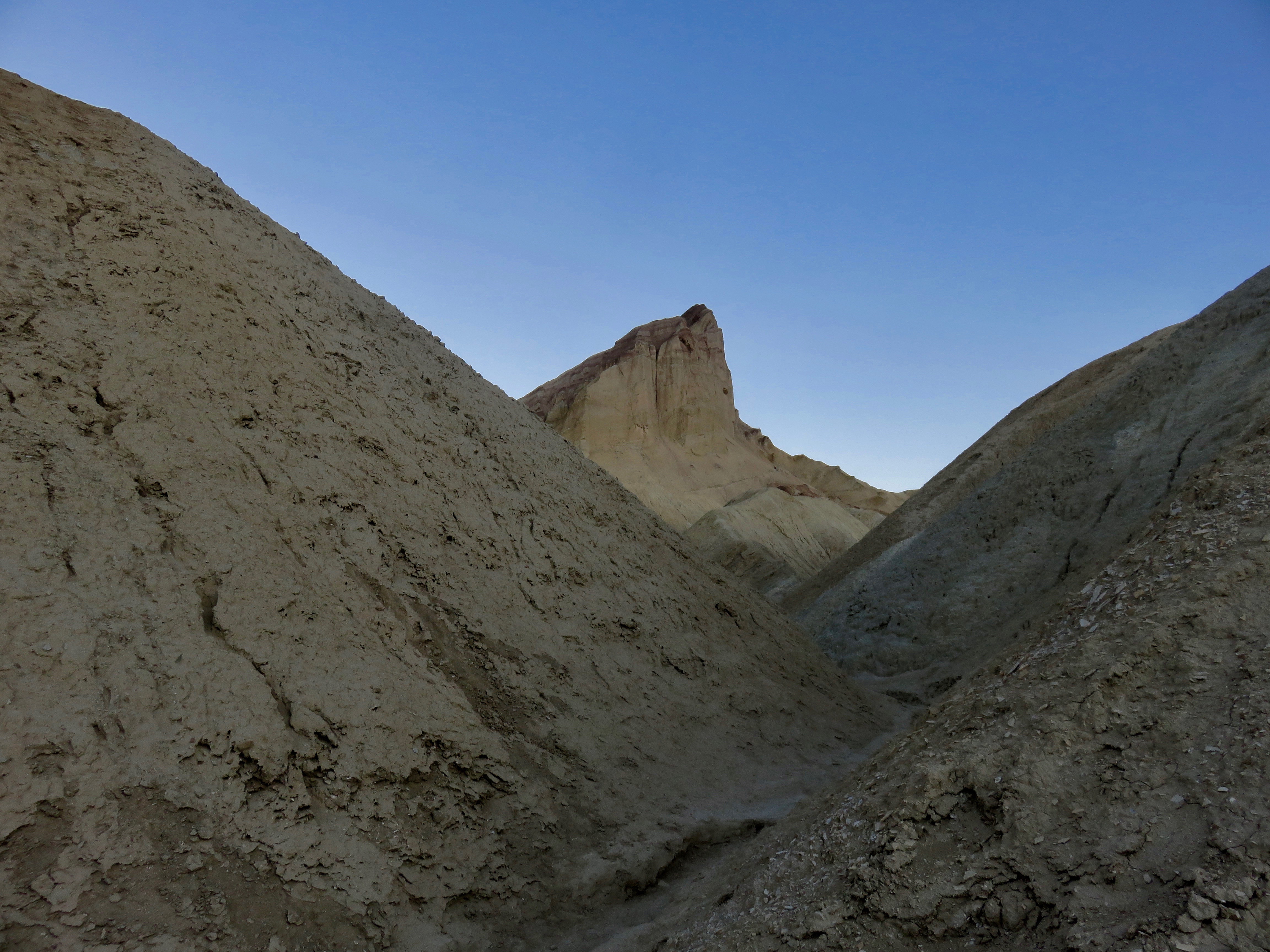
Manly Beacon at dusk
Manly Beacon at dusk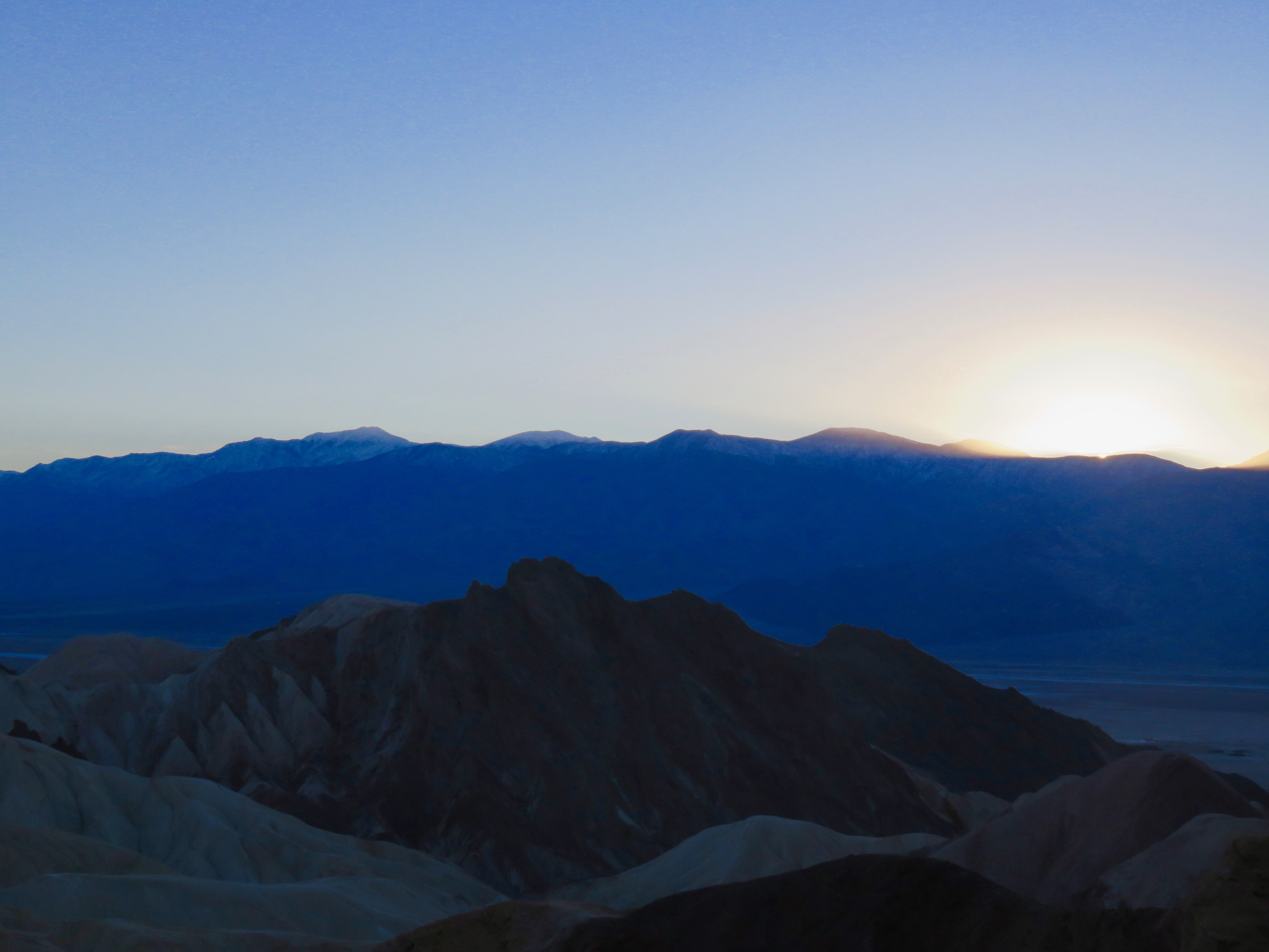
Blue hues as the sun sets
Blue hues as the sun sets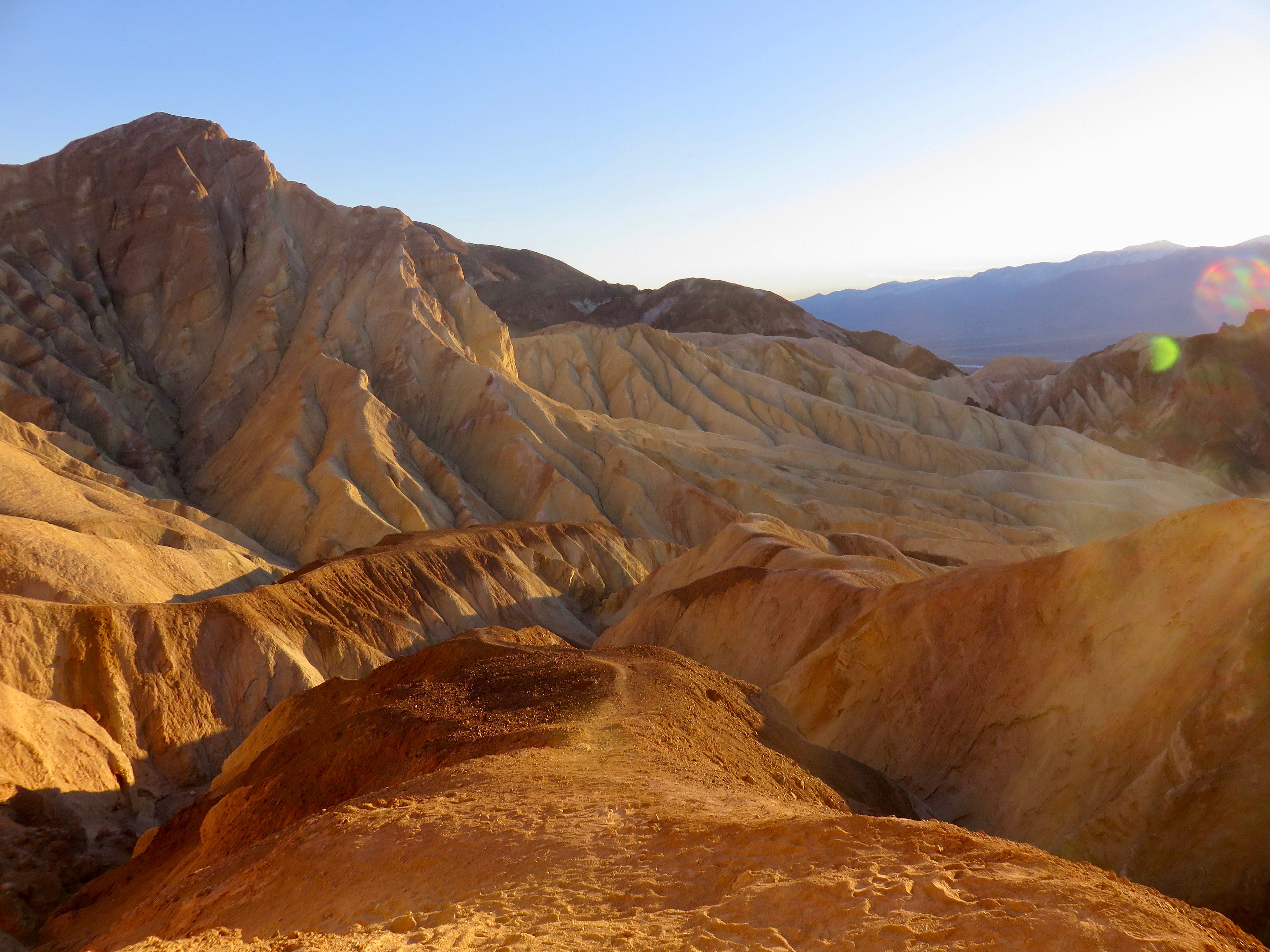
Sunset in Golden Canyon
Sunset in Golden Canyon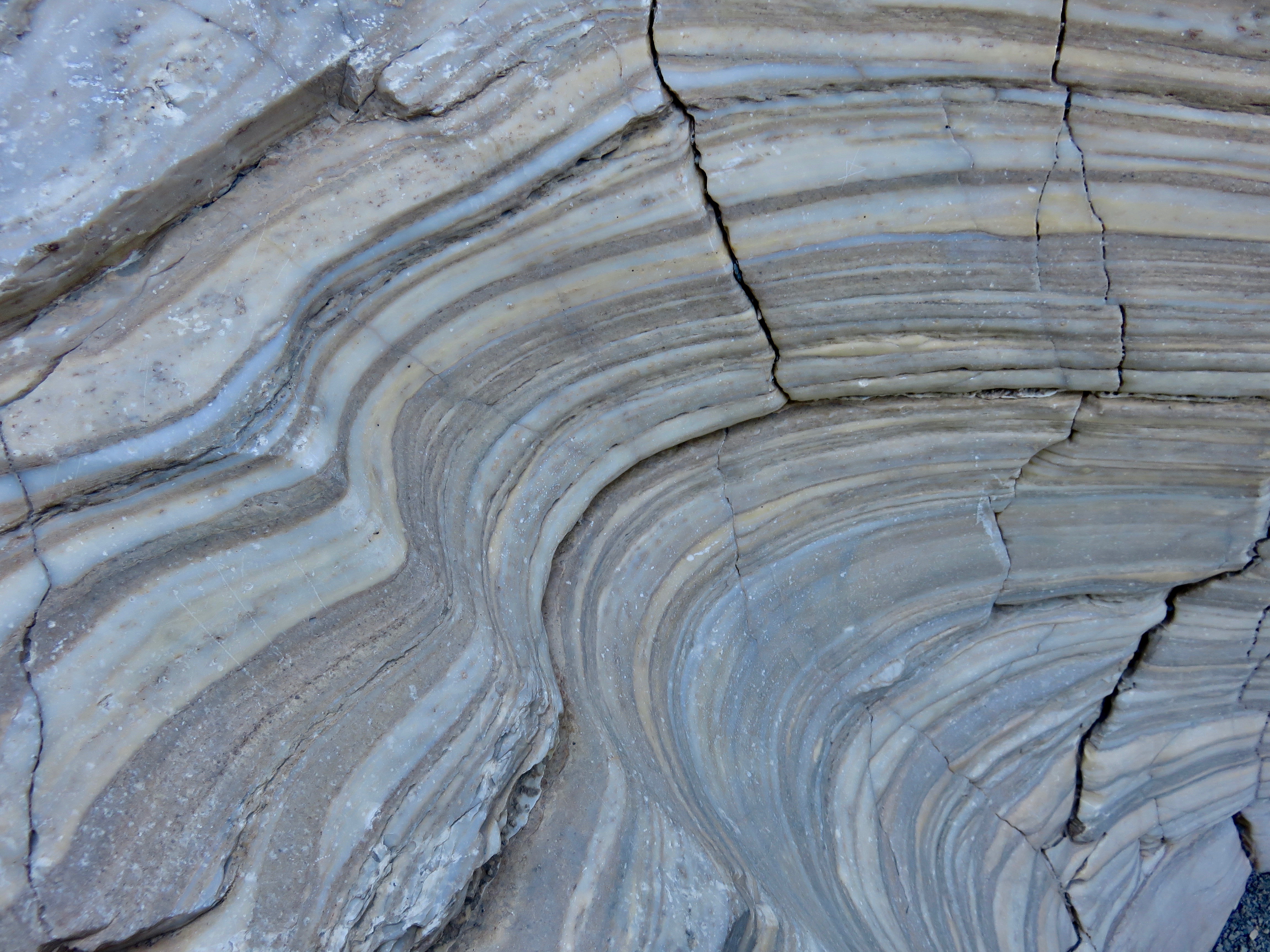
How Mosaic Canyon got its name...
How Mosaic Canyon got its name...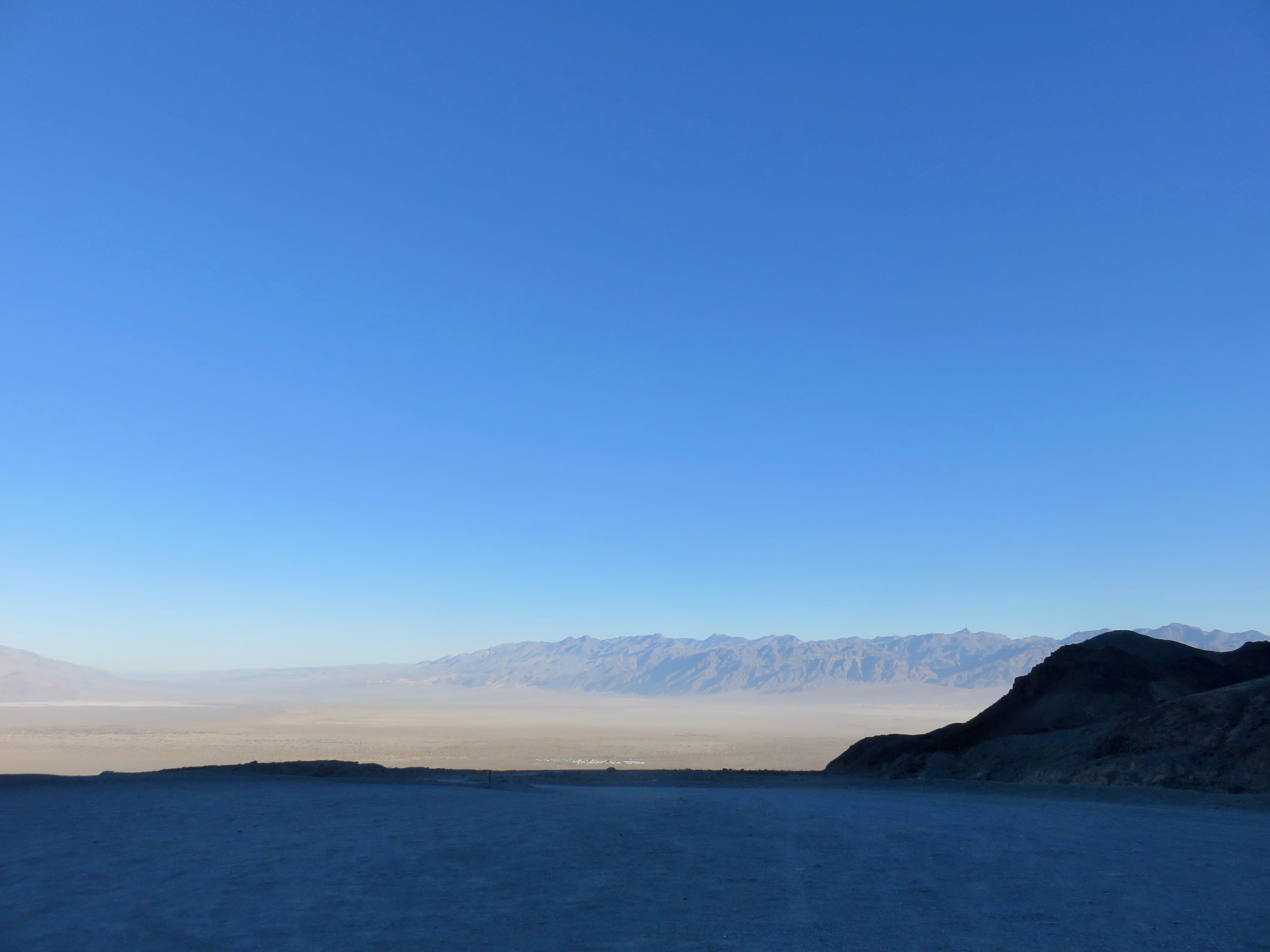
Morning light in Death Valley
Morning light in Death Valley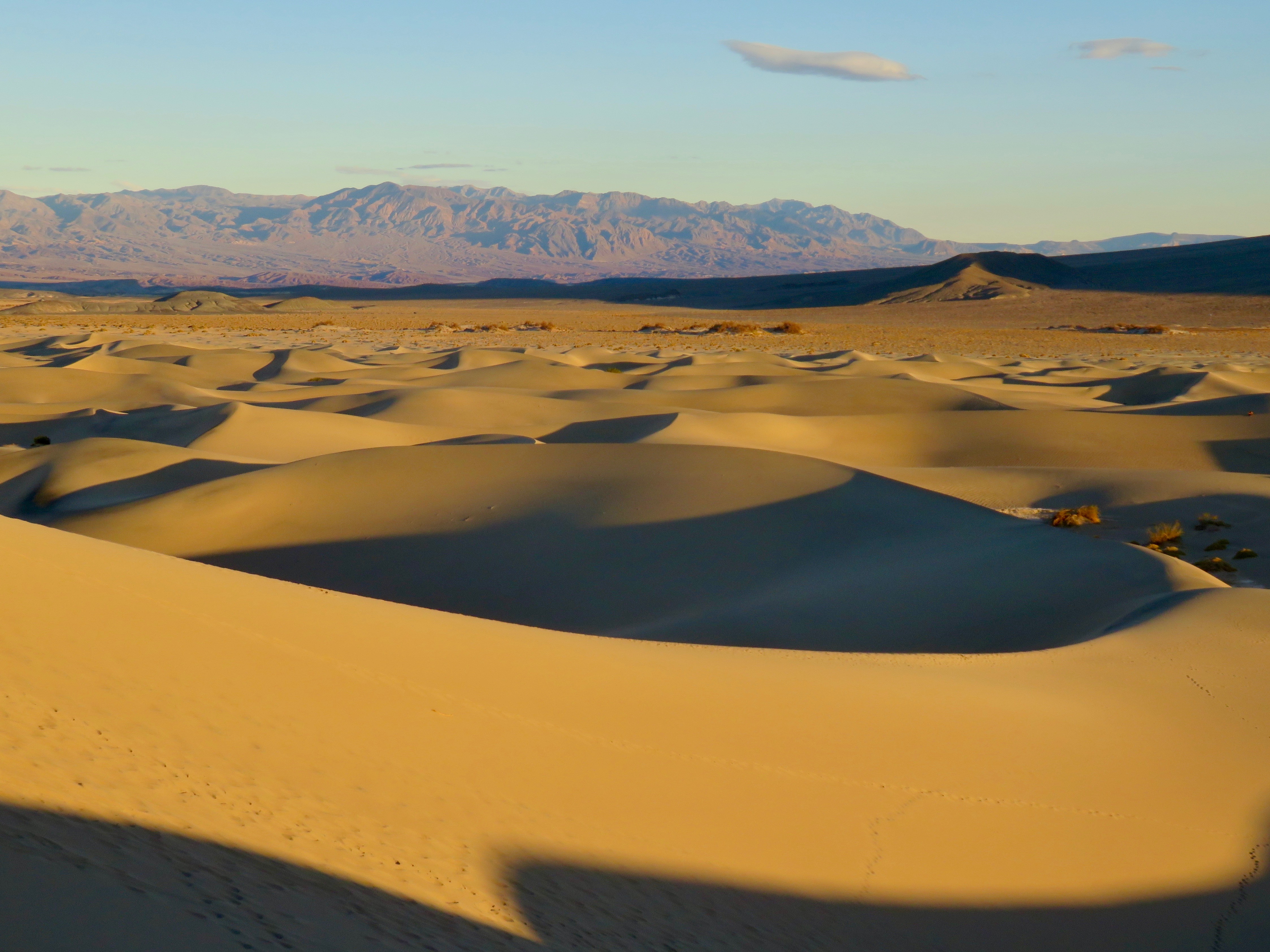
Sand sea
Sand sea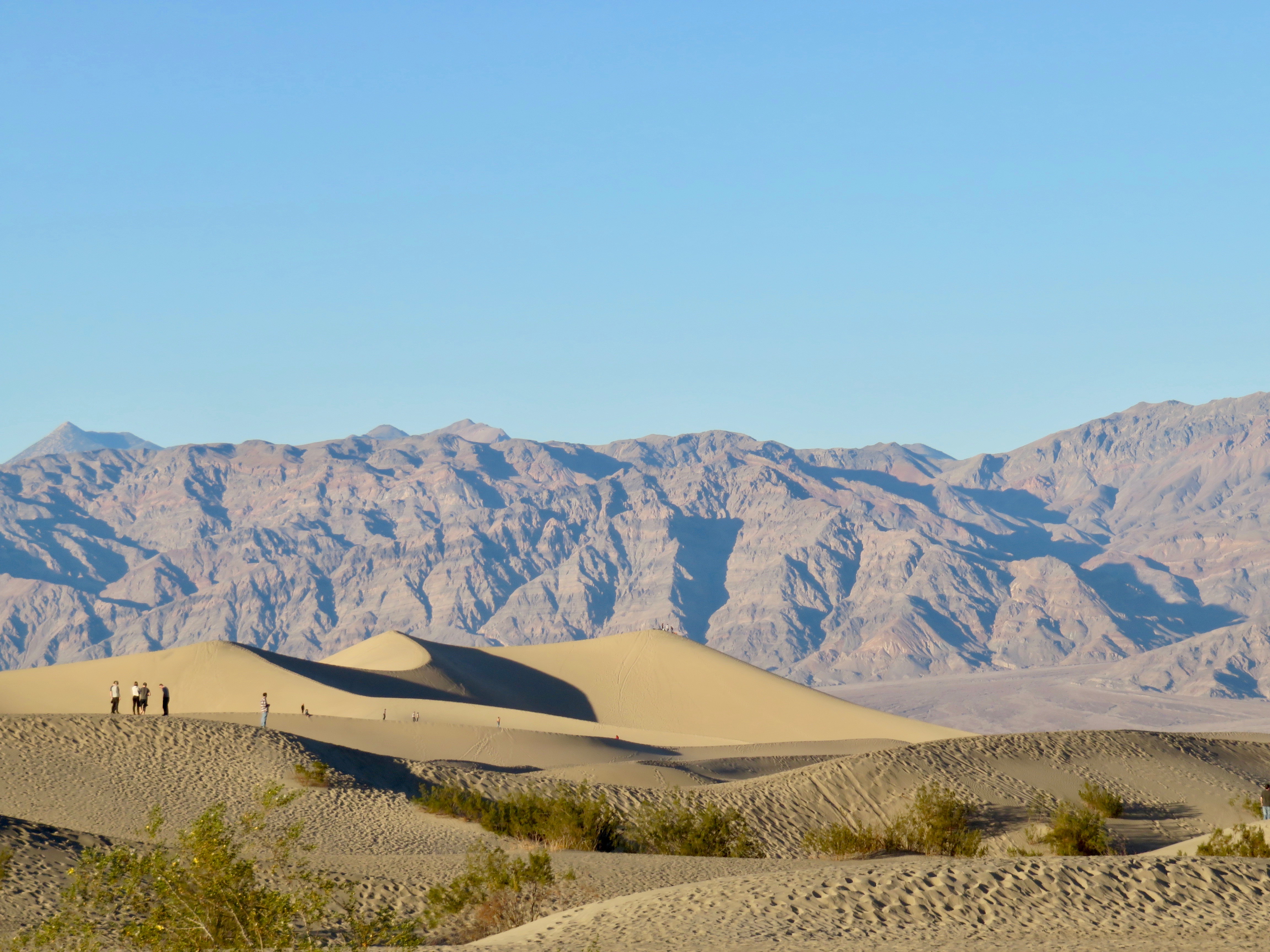
Mesquite Flat Dunes
Mesquite Flat Dunes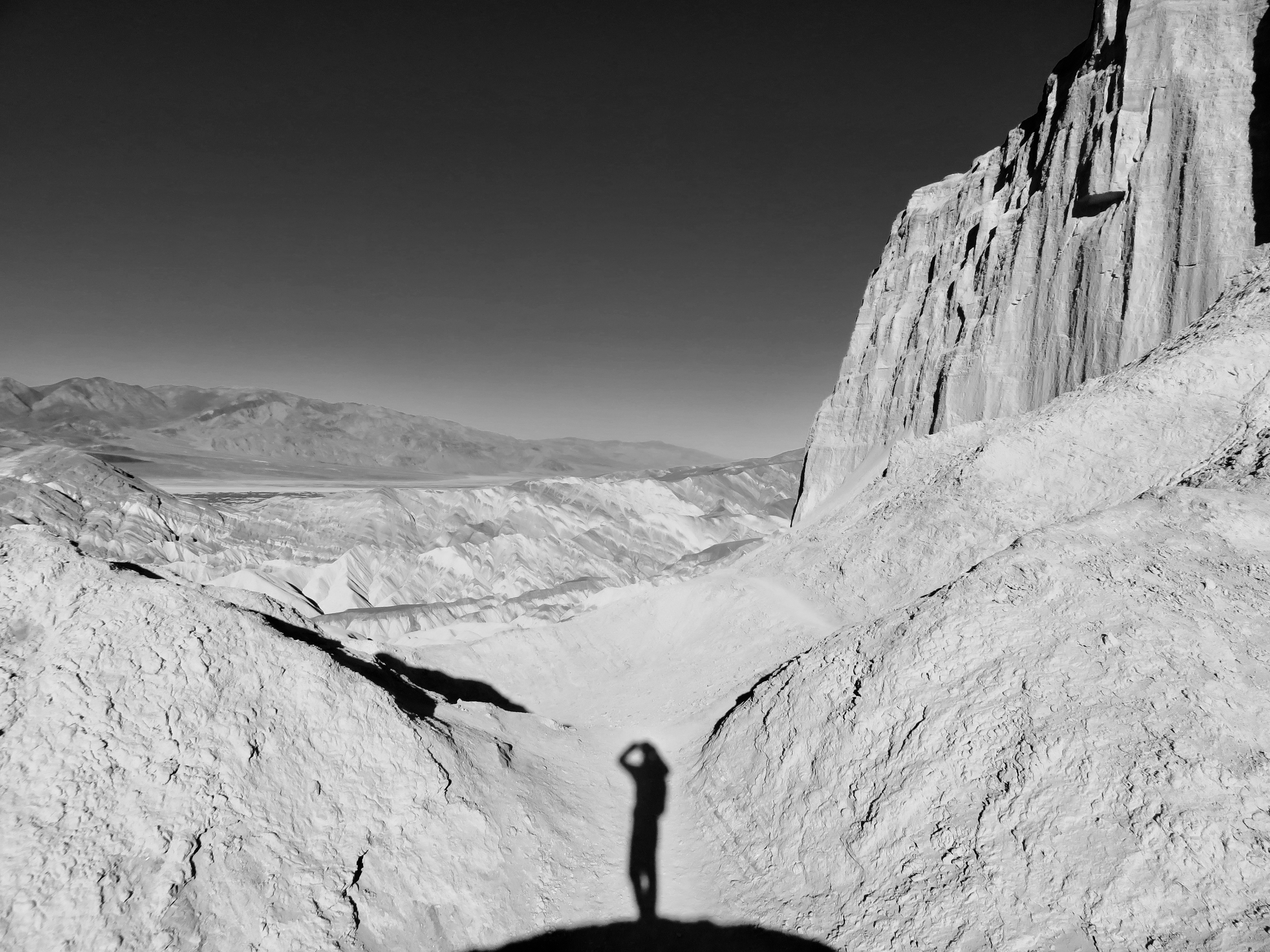
Shadow in Golden Canyon
Shadow in Golden Canyon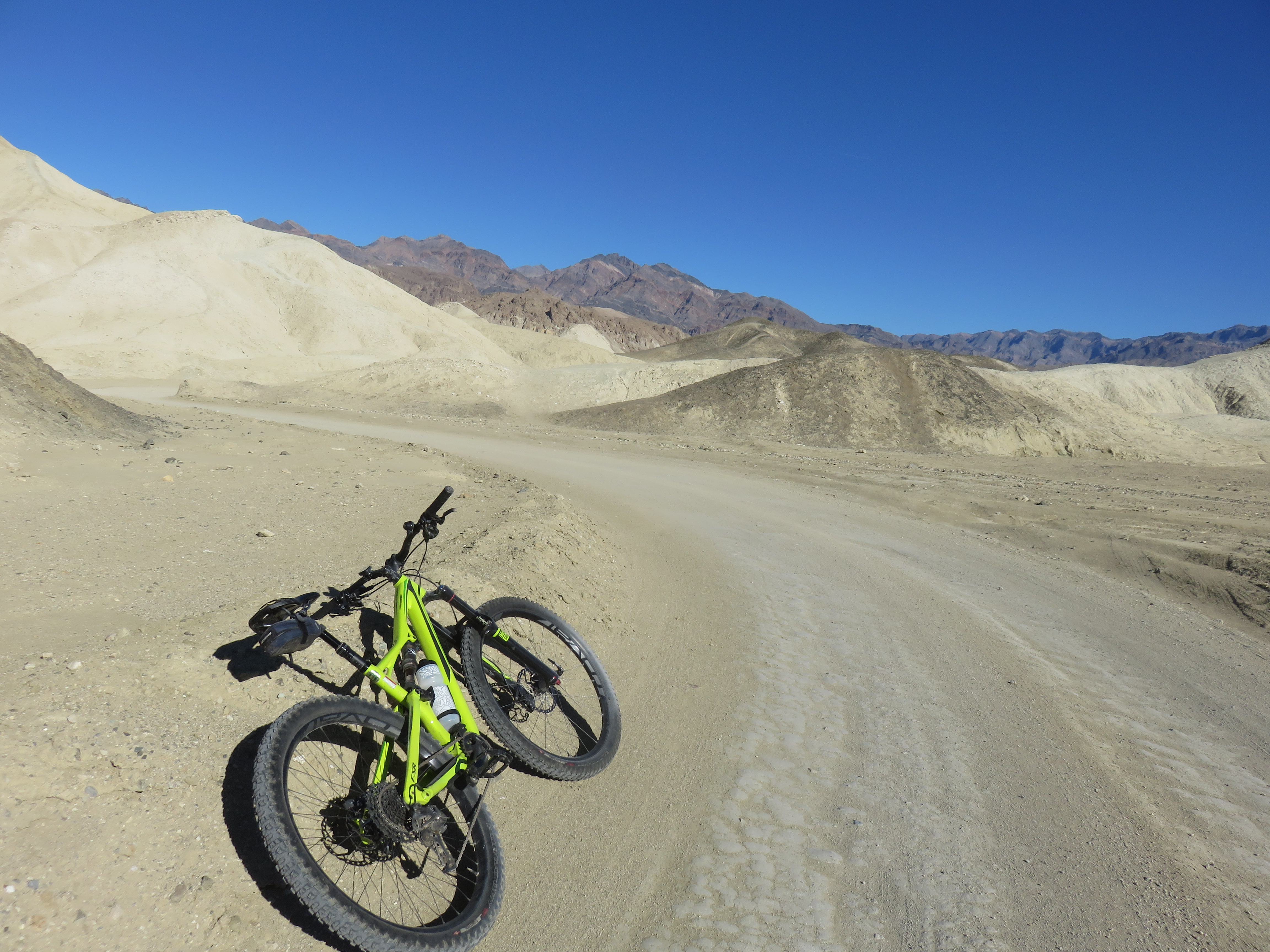
Biking Twenty Mule Team Canyon
Biking Twenty Mule Team Canyon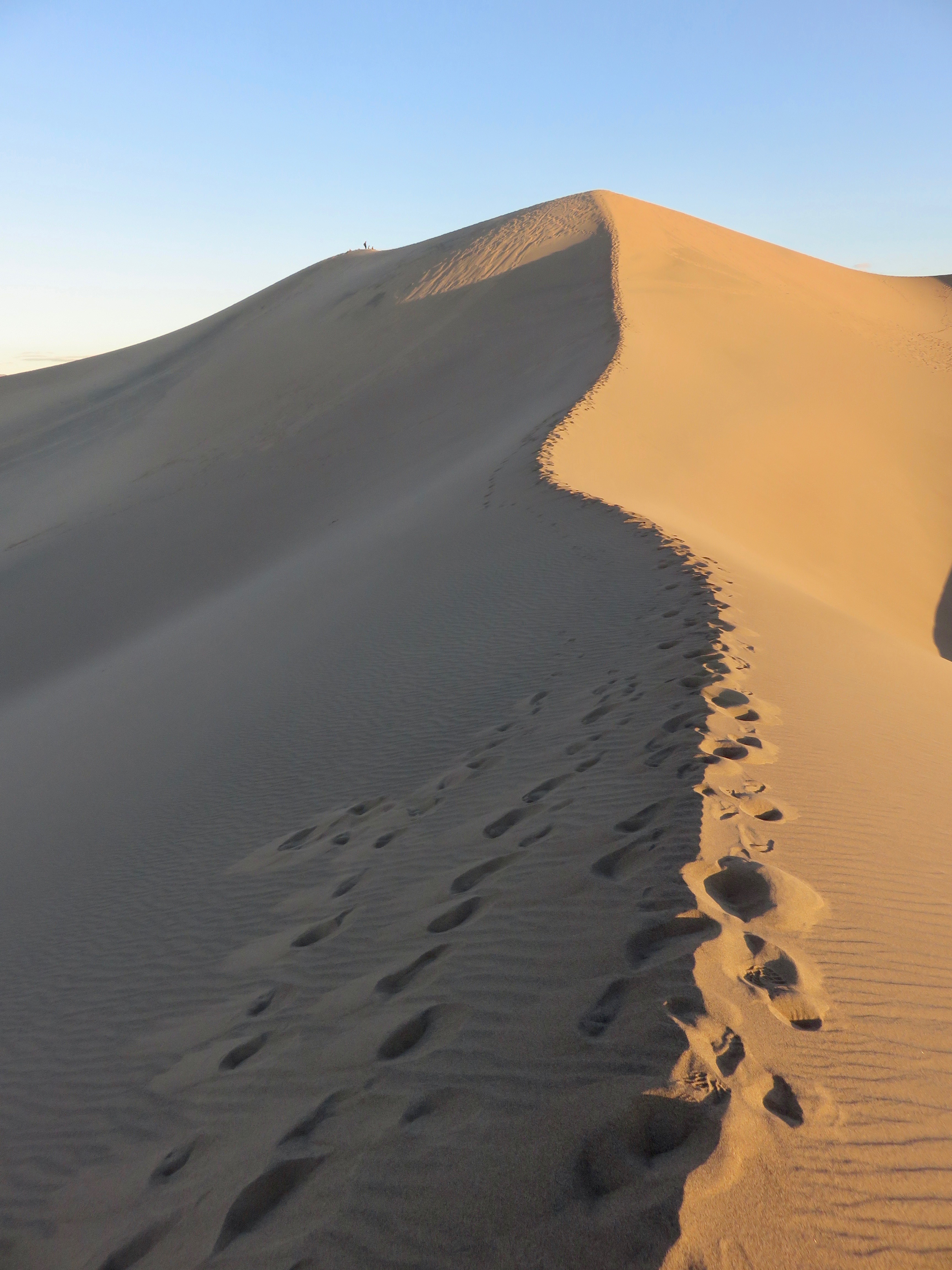
Hiking Mesquite Dunes
Hiking Mesquite Dunes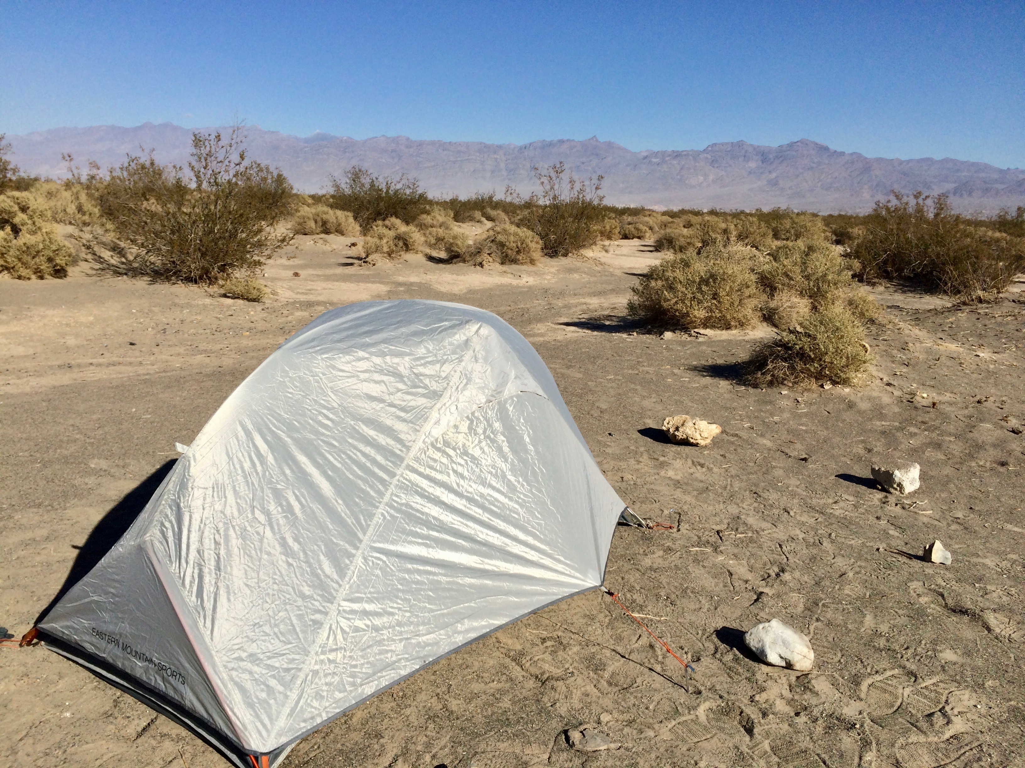
My humble accommodations
My humble accommodations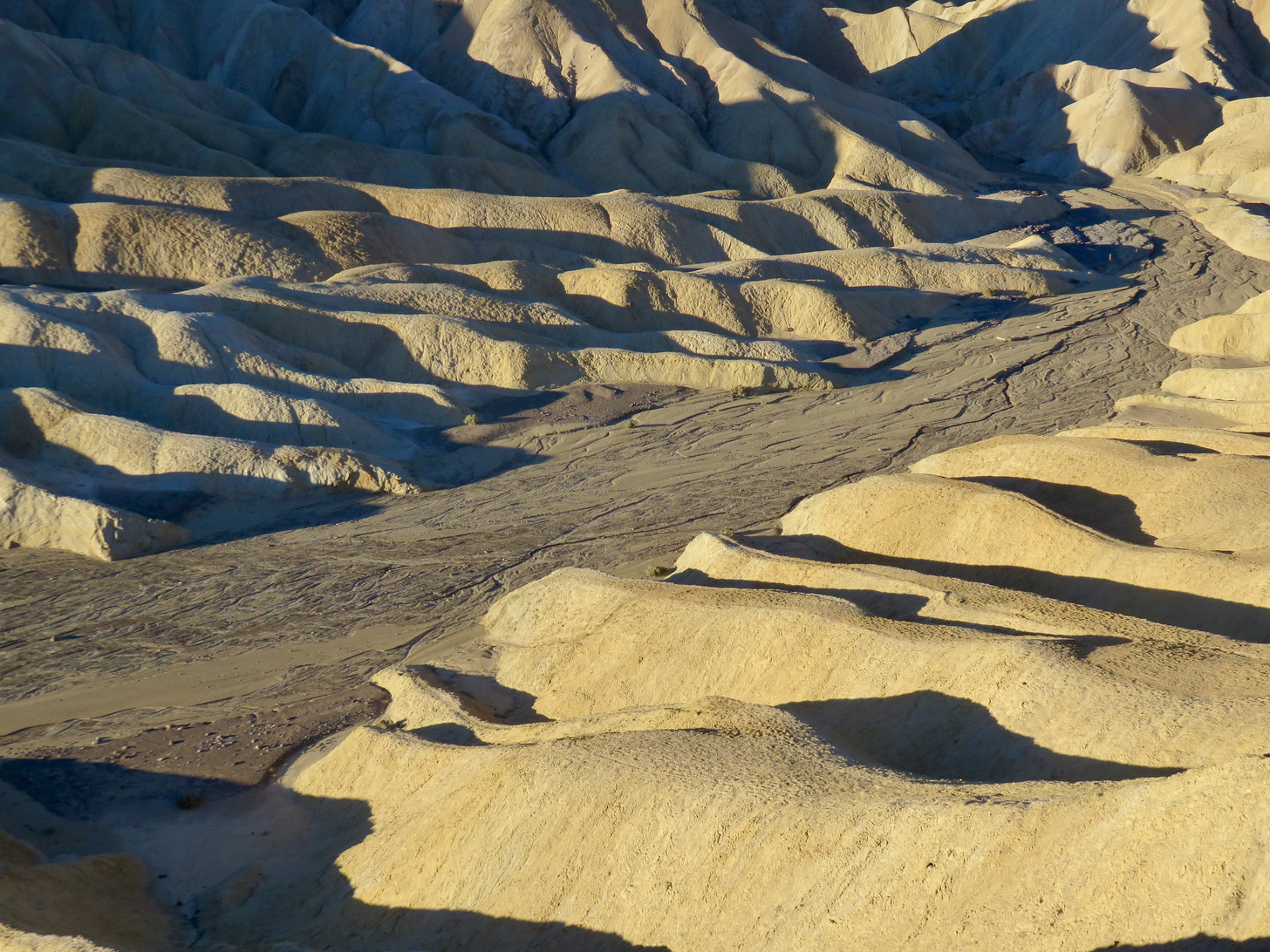
Early morning shadows in the Badlands
Early morning shadows in the Badlands
Watching sunset from the dunes
Watching sunset from the dunes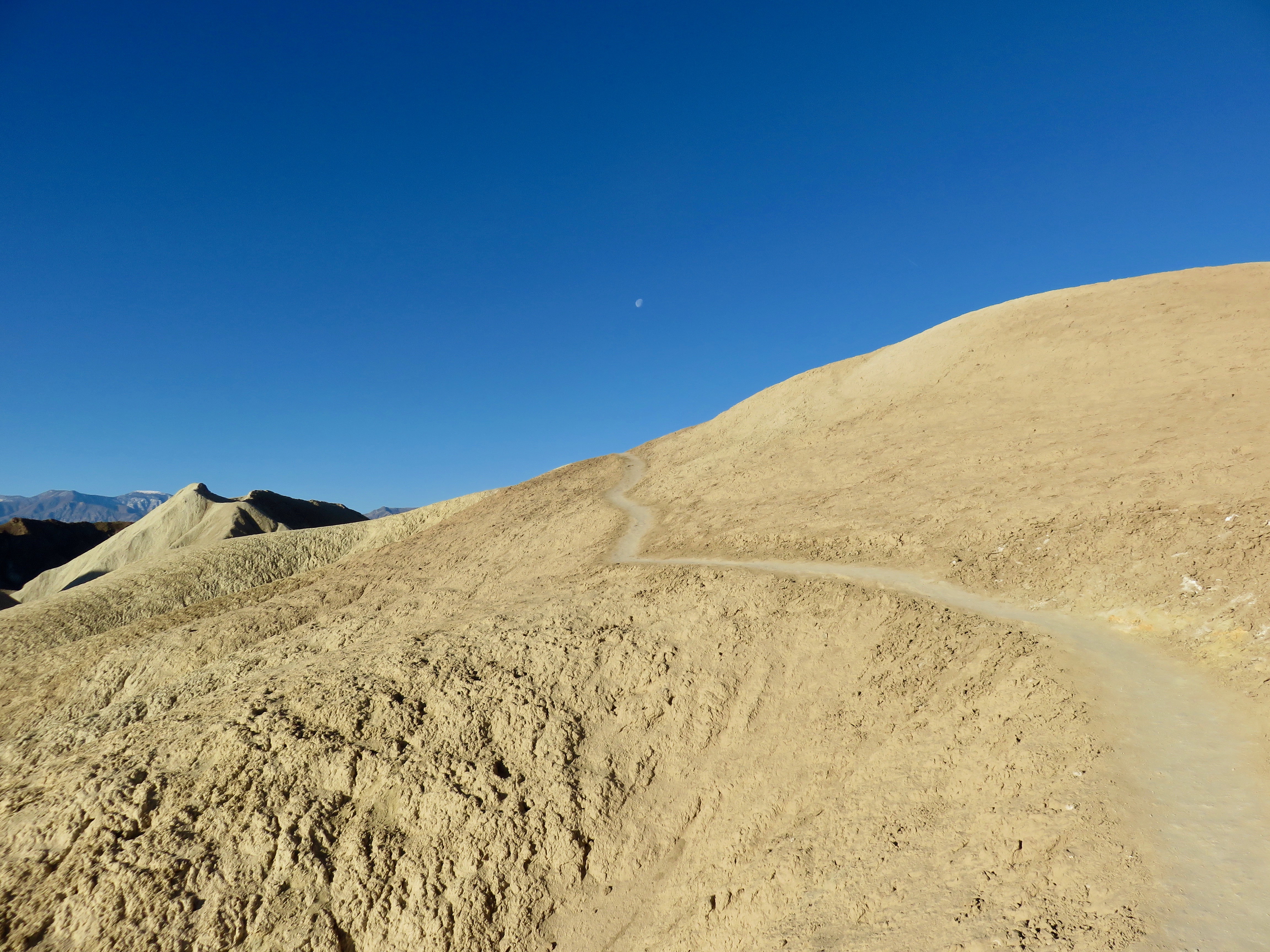
Trail climbs a hill in the badlands
Trail climbs a hill in the badlands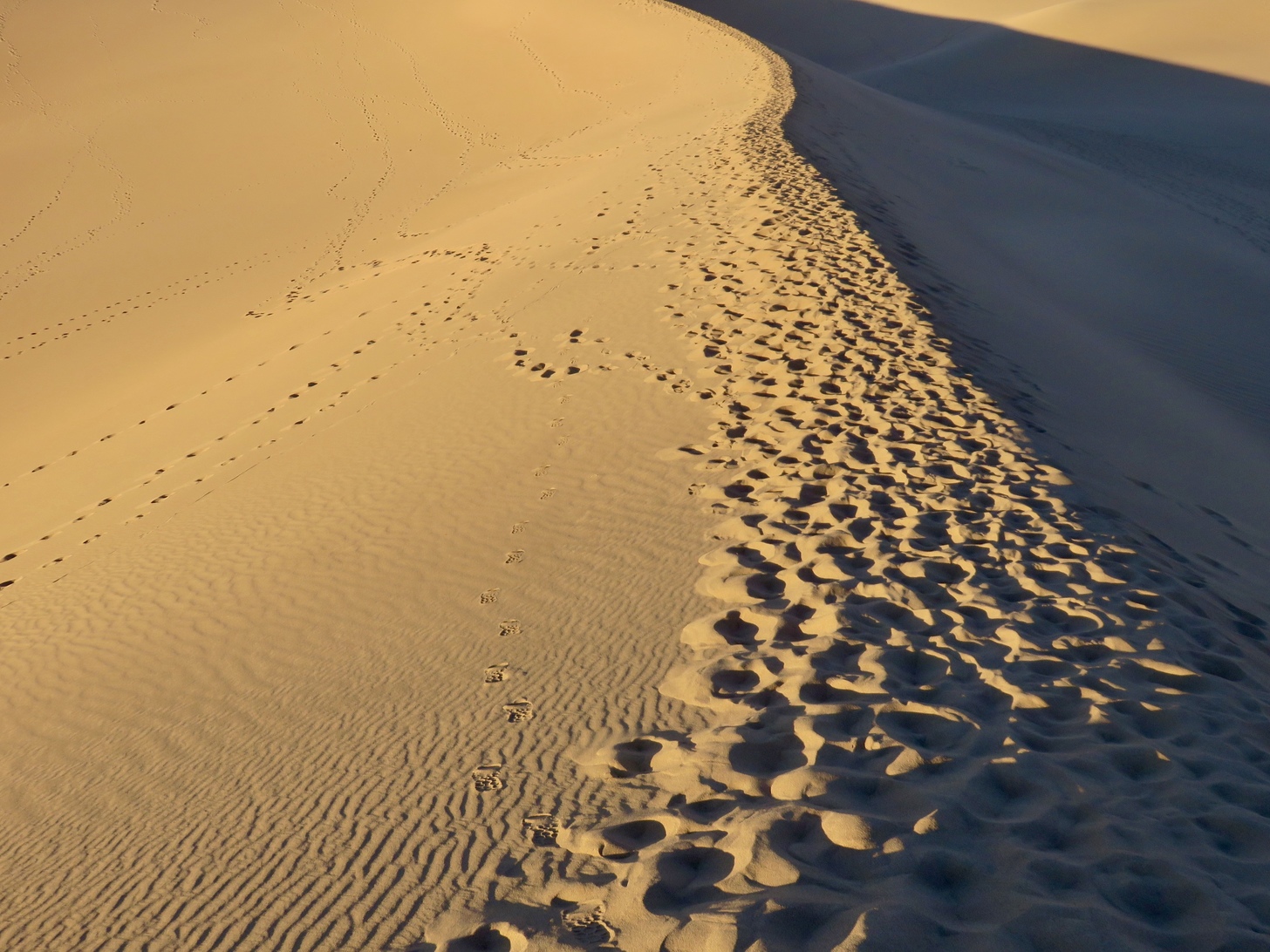
Footprints in the sand
Footprints in the sand